

Different projects have different needs. Our geospatial team will develop a thorough understanding of your needs and use that understanding to create a project delivery plan which will determine the type of sensors used, the type of deliverables, and the level of detail to which we develop deliverables.

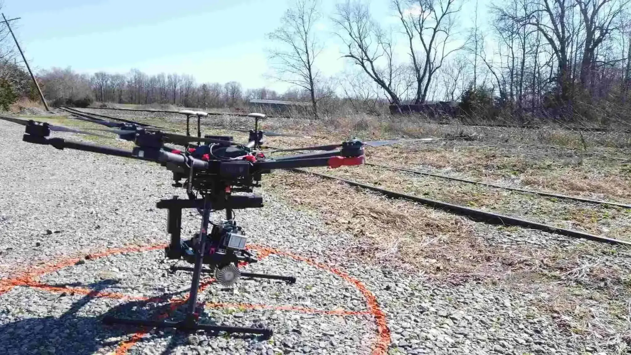
We'll use the most advanced sensors to collect the data you require and develop that rich data into a highly accurate set of deliverables. With our products, we often only need to collect data once for a given site.

-1-1.webp)
Our laser scans are so dense with high-accuracy data that we can often return to the same point cloud for additional extractions.
We capture and render track structures, signal structures, wirelines, roadways, and more with incredible resolution and accuracy. Visit our Geospatial Scan Library and see it for yourself, right in your web browser.

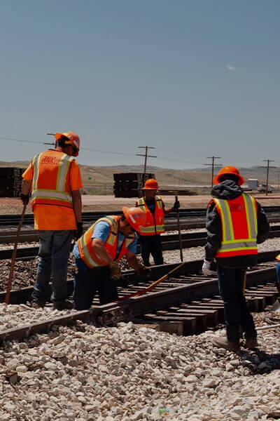
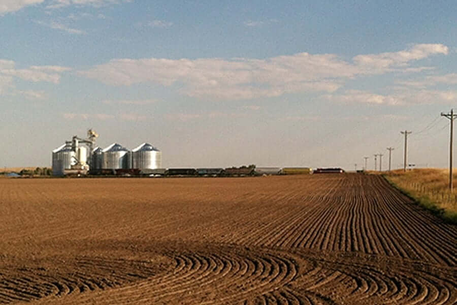
The 360 Rail Services expert team delivers outstanding solutions and provides value to every project.
360 Rail Services' expert team helped to accelerate the construction schedule of this New Orelans facility from 18 months to 8 months.

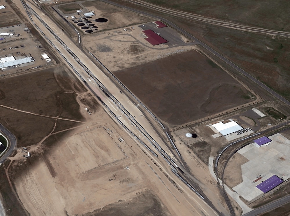
360 Rail Services coordinated with state, municipal, military and railway stakeholders.

Our experienced engineers and construction team overcame space limitations to create this facility capable of supporting an entire unit train in Alliance, NE.


