Railroad Landslide Scan

Overview 


LOCATION
Miles City, MT

SENSOR
Reigl miniVUX LiDAR

SCAN AREA TOTAL
18 Acres

PERIOD OF TOTAL PERFORMANCE
March 2020

The 360 Rail Services Geospatial business unit helped provide valuable terrain data in a time of crisis for a Class 1 railroad in the Northwestern United States. Within 18 hours of notification of the issue, our crews were on-site at a landslide collecting LiDAR data using a drone. This highly efficient collection provided fast, safe, and highly accurate data to the geotechnical engineers responsible for stabilizing the site.

360 Railroad drone shot
360 Rail Services Team at work

Our team provided section sheets with high absolute accuracy within three hours of beginning data collection. The lessons learned on the capabilities of unmanned aerial LiDAR in this project have impacted our approach to similar projects throughout the railroad industry.

We Surpassed Expectations On These Railway Projects

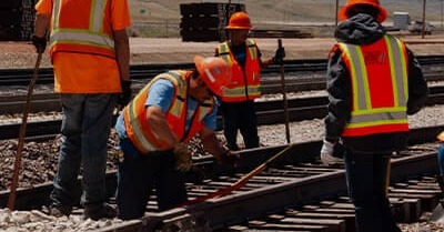
The 360 Rail Services expert team delivers outstanding solutions and provides value to every project.

Crude Oil Unloading Facility

360 Rail Services' expert team helped to accelerate the construction schedule of this New Orleans facility from 18 months to 8 months.

Read More About the Project
Cheyenne Logistics Park

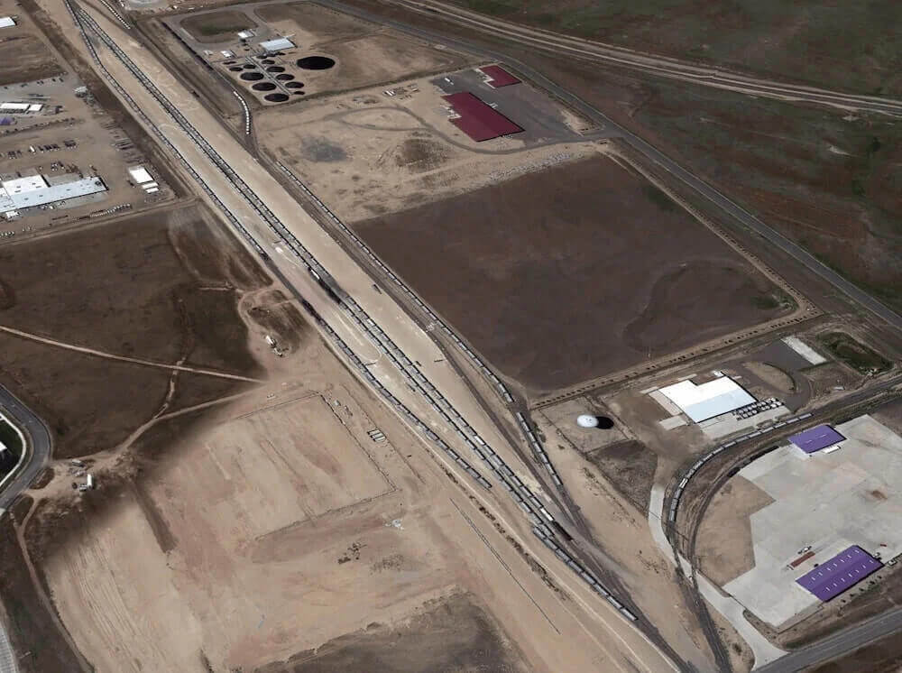
360 Rail Services coordinated this project with state, municipal, military, and railway stakeholders.

Read More About the Project
Grain Transloading Facility

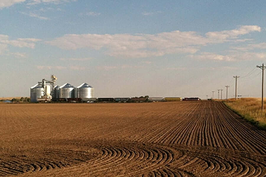
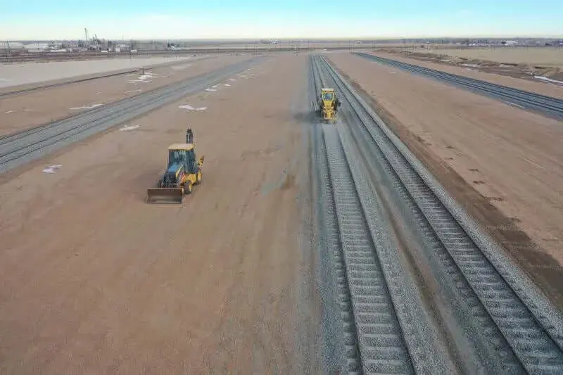
Our experienced engineers and construction team overcame space limitations to create this facility capable of supporting an entire unit train in Alliance, NE.

Read More About the Project

LET'S GET TO WORK

Receive a Complimentary Concept